Maps of African Continent, Countries, Capitals and Flags
Hey you all dear visitors and followers! As promised to you earlier, I continue to create posts for maps of continents aside from individual countries all around the world. Today, I will be sharing political and physical maps of Africa, together with a beautiful map/flag combination where you’ll have the map of African continent having each countries flag at its location on the map.
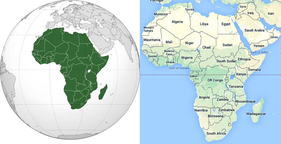
First, let’s see where the African continent starts and where it ends; at least roughly. Well, you could simply check the picture above and see it all clearly. Though, I should mention a misconception that I think might exist. Starting from the line of Yemen and Oman up towards north west till Iraq and Syria; this piece of land is not a part of African continent. Another thing is that Indian Ocean stretches till the eastern coast of the African continent.
And here comes a physical map of African continent:

And here is a political map of African continent. You could see the capital cities of each African state in this map, as well as other important, popular cities of them. It is a colorful map, too, haha, well, enjoy it :

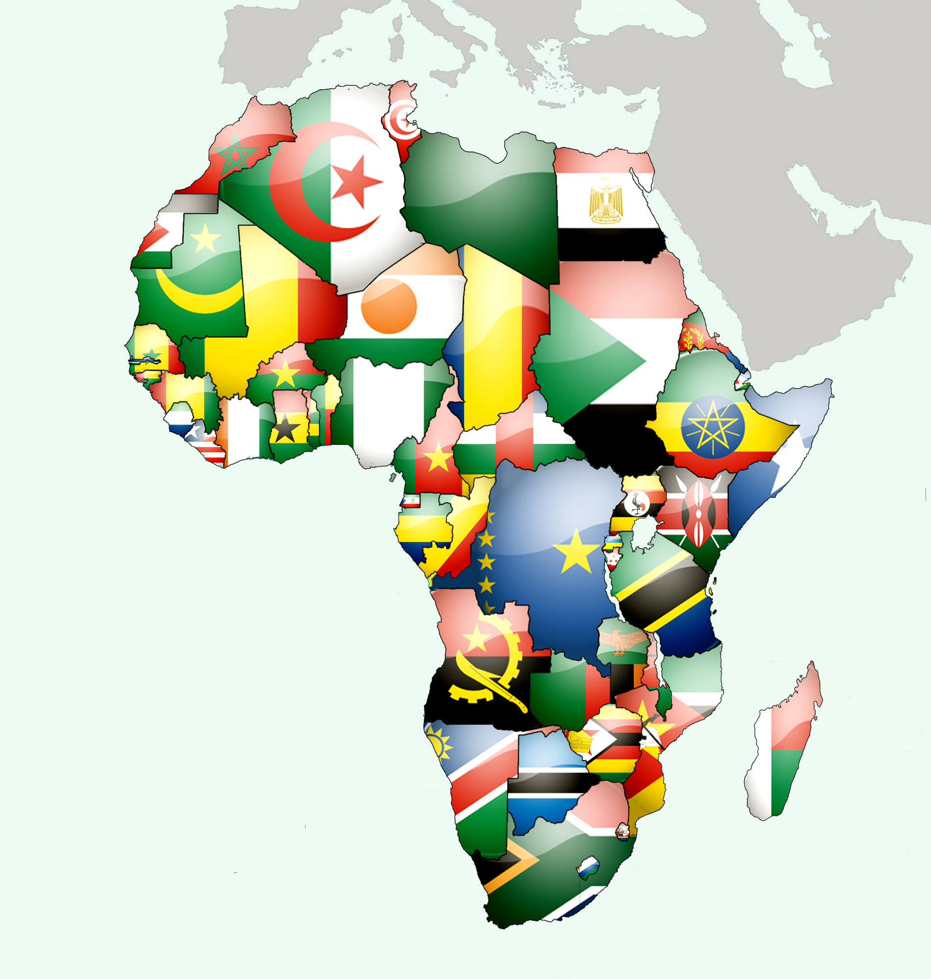
And here is a flag-over-map sort of map of African continent; flag of each African state is located right on where the country is on the map. Also, before I finish this post, I will remind again that these are all large size pictures, not small as they seem on this page; click on each picture to see them in their original size, please.
Related Posts
About The Author
Hasan
Trip & Travel Advisor; Voyager!